
Sanriku Coast
Researched and written by Hinato
Iwate · Kamaishi
39.2772°N, 141.8853°E
Sanriku Coast rewards patience — the view most people describe isn't the one you get by rushing.
The Sanriku Coast is a 250km stretch of dramatic Pacific coastline running through Iwate Prefecture, characterized by steep cliffs, deep bays (ria coast formation), and small fishing villages. The coast is divided into northern (Kitayamazaki cliffs), central (Jodogahama), and southern (Kamaishi, Ofunato) sections. Kitayamazaki features 200-meter-high cliffs extending 8km, with observation points accessible by car and walking trails. The ria coast geography — drowned river valleys creating deep inlets — makes the coastline convoluted and scenic but also vulnerable to tsunamis. The 2011 Tohoku tsunami devastated coastal communities; recovery efforts transformed the region into Sanriku Fukko (Recovery) National Park. Today, the coast combines natural beauty with tsunami memorials, elevated seawalls, and rebuilt fishing ports. The area is famous for seafood, particularly sea urchin, abalone, oysters, and wakame seaweed.
Before you go
Access hours
Kitayamazaki cliffs: observation points accessible during daylight | Boat tours (seasonal): 9:00 AM – 4:00 PM April–October | Fishing village morning markets: 6:00 AM – 9:00 AM | Tsunami learning centers: 9:00 AM – 5:00 PM
Closed: Cliff paths: never closed | Boat tours: closed November–March | Some services limited in winter | Fishing villages: year-round but morning market frequency reduces in winter
Entry fee
Check locally before visiting
Best time to visit
Spring (April–May) and autumn (September–October) for best weather and coastal photography | June–August for sea urchin season and all boat tours operating | Avoid heavy fog periods (June–July can be foggy near coast)
Time to allow
Full day minimum for a meaningful coastal drive | Kitayamazaki + Jodogahama: 6–7 hours by car | Multi-day trip recommended to cover northern and southern coast sections
Access route
Access notes
What to bring
Nearby Spots
The closest hidden gems to Sanriku Coast, by straight-line distance.
 karinckarinc / CC BY 2.0
Kamaishi Daikannon
Little knownKamaishi Daikannon is a 48.5-meter tall statue of Kannon (Buddhist goddess of mercy) standing on a peninsula overlooking…
Hashino Iron Mining Site
Well knownIn 1858 Oshima Takato, working from a Dutch textbook, built a Western-style blast furnace here and produced Japan's firs…
Tono Folktales
Little knownTono is Japan's folklore capital, a rural mountain city famous for preserving traditional tales of kappa (water imps), z…
 Morio / CC BY-SA 4.0
Goishi Coast
Little knownThe Goishi coast runs about six kilometres around the end of the Massaki peninsula and is named for the beach of flat bl…
 Yasu ( talk ) / CC BY-SA 3.0
Iwate Tsunami Memorial Museum
Little knownThe Sanriku coast has been hit by major tsunami repeatedly — 1896, 1933, 1960, 2011 — and this museum, opened in Septemb…
 z tanuki / CC BY 3.0
Tono Furusato Village
Little knownTono is where Yanagita Kunio collected the folk tales that became Tono Monogatari, and this open-air site is where the b…
More in Iwate
Kitayamazaki
Little knownKitayamazaki is eight kilometres of cliff on the Sanriku coast, two hundred metres straight down to the water, and it is…
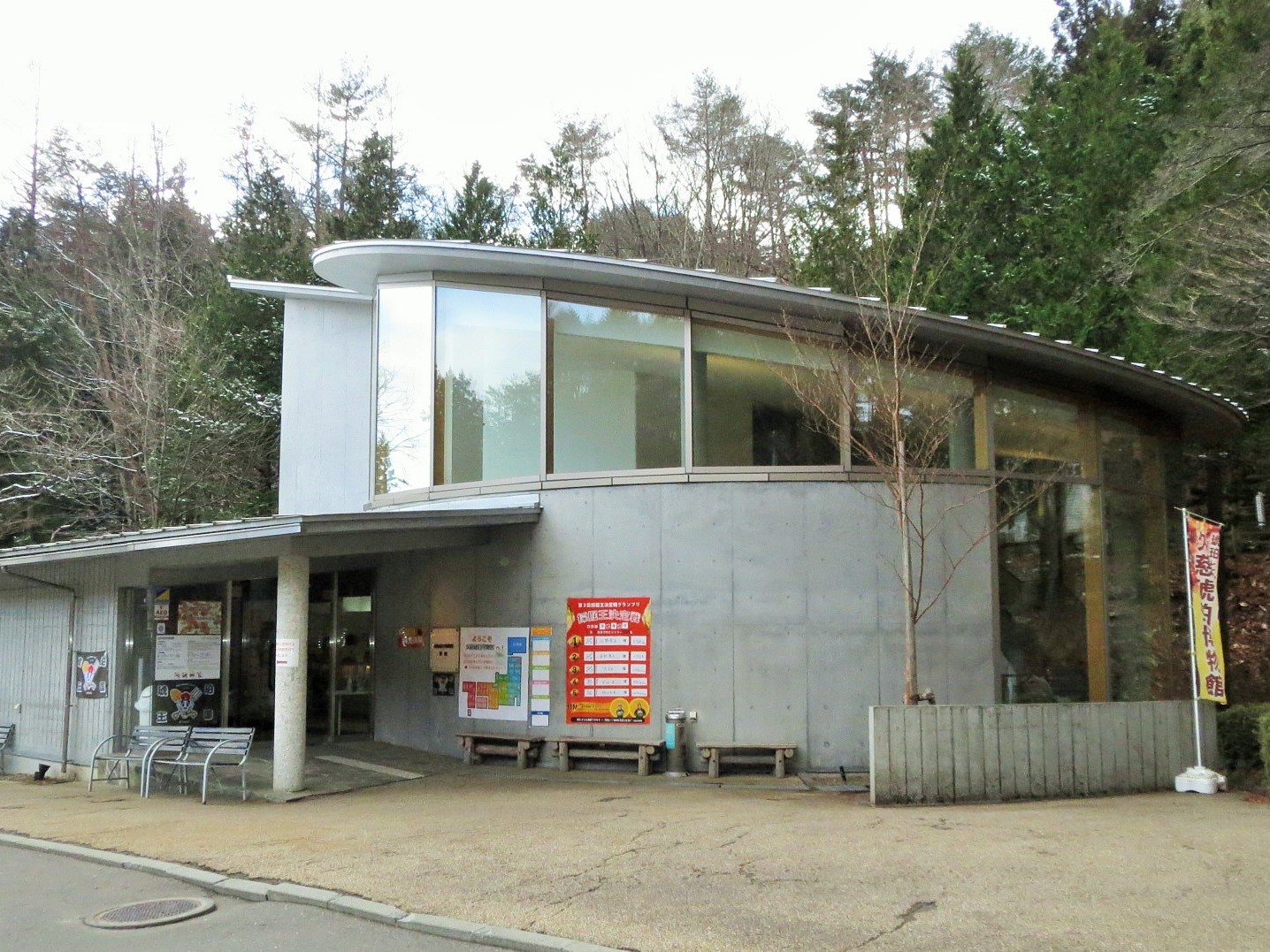 Ty19080914 / CC BY-SA 4.0
Kuji Amber Museum
Little knownKuji amber is around 85 million years old, from the Cretaceous, which makes it substantially older than Baltic amber and…
Hiraniwa Highland
Little knownHiraniwa sits at eight hundred metres on the shoulder of Mt. Hiraniwa, on the boundary between Kuji and Kuzumaki, and it…